GIS Ethiopia
Lead Organization:
Ethiopian Institute of Agricultural Research
Partner Organizations:
Jimma University
Community of Practice:
Countries:
Ethiopia
Duration:
12/2015—12/2017
Overview:
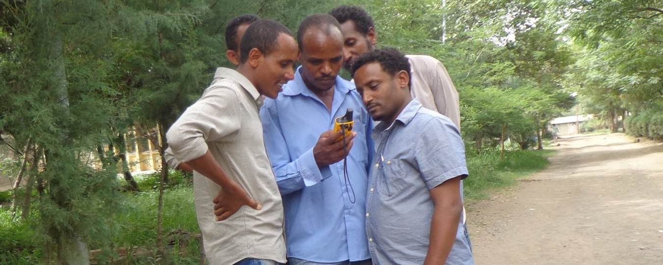
The purpose of this grant is to renew support to two Ethiopian Geographic Information Systems (GIS) experts who have been providing technical assistance to CCRP’s Ethiopia-based projects for the past year. They will provide direct technical support to CCRP project teams to generate maps and data that will help with project site selections, sampling designs, and plans for data collection. They will also offer basic and advanced demand-driven training on how to use geospatial tools and techniques.
The GIS Ethiopia project contributes to CCRP strategies by helping to enhance research quality and strengthen local institutions. Spatial research is essential to understand the geographical contexts where different crop germplasm and management options may perform well or poorly, thus providing insight for future research and scaling efforts. The teams in their initial phase have reaped the benefits of spatial thinking. Thus this next phase will build on researchers’ capacity to apply relatively more advanced tools and techniques for their respective research areas, ultimately enhancing the quality of research conducted.
Grant Aims:
Since November 2014, the GIS Ethiopia team has provided geospatial advice, data and maps relevant for several projects research objectives. Those projects that have benefited to date include Cowpea Ethiopia, FRN Ethiopia, Push Pull Plus and EXW. They have also provided basic and advanced training to project teams that have requested training workshops, which includes Cowpea Ethiopia, Push Pull Plus and EXW.
Going forward, the GIS Ethiopia team proposes to continue to provide direct technical support and training. The team feels that they have created awareness of the benefits of spatial thinking. Most projects have received data, maps and basic training. Thus the next phase will be to enhance/ build on researchers capacity to apply more advanced tools and techniques for their respective research areas, as well as start from scratch with projects just coming on board.
The project contributes to CCRP strategies primarily by helping to enhance research quality and strengthen local institutions. Spatially-explicit research is essential for agroecologicial intensification as it helps to delineate the geographical context under which different crop germplasm and/or management options may perform well or poorly, thus providing insight for future research and scaling up efforts.
Outputs and Outcomes:
Outputs:
- Training materials (basic and advanced) on: how to use GPS units, download/upload GPS data, how to freely access available data layers, analyze and mapping using open source GIS software available to agricultural researchers
- Geo-referenced data-base/information for current and future research
- Research publications
Outcomes:
- Strengthening of skills and knowledge in geospatial techniques and tools of agricultural researchers
- Increased collection, use, and dissemination of geospatial data-base/ information in agricultural research