GIS Kenya
Lead Organization:
Kenya Agricultural and Livestock Research Organization
Partner Organizations:
Jomo Kenyatta University of Agriculture and Technology, Dedan Kimathi University of Technology, University of Nairobi, Technical University of Kenya, University of Eldoret, Earth Consult Ltd., Uganda
Community of Practice:
Countries:
Ethiopia, Kenya, Malawi, Mozambique, Tanzania, and Uganda
Duration:
11/2017—11/2020
Overview:
Many of the phenomena and processes that influence agricultural research for development (AR4D) vary over space and time. Remote sensing (RS) and geographic information systems (GIS) technologies can help researchers to simplify, map, and visualize this spatial variability, which can be complex, irregular, and dynamic. In recent years, there have been important advances in the use of RS and GIS technologies for spatial analysis in agricultural research. This can be attributed to advances in the capacity and affordability of computer hardware and software, weather and soil monitoring instruments, and freely available high resolution biophysical and socio-economic data in digital format (e.g., soil, climate, vegetation, elevation, population census, household surveys, markets and access, etc.). Successful use of GIS in AR4D is based upon a progressive cultivation of a geographic perspective on how the world works, including how systems function, how and why certain relationships exist, and how research might approach and solve problems. This perspective results from a way of thinking that identifies, analyses, and understands the location, scale, patterns, and trends of the spatial and temporal relationships among data, phenomena, and issues. This way of thinking is referred to as spatial thinking. Spatial thinking has potential to move the researcher employing GIS and RS beyond just mapping to being able to explain variability in the phenomena under study, thereby enhancing AR4D.
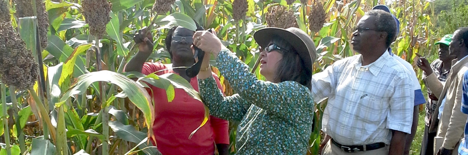
Over the past three years, and within the framework of a community of practice, the GIS-Kenya project has helped to mainstream spatial thinking within CCRP projects, as well as among students on attachment from universities offering GIS degrees. For example, within the CCRP, the GIS project team helped the Drylands FRN team define project boundaries at a watershed scale and map degradation hotspots using digital terrain modelling. The project team used these inputs plus a participatory GIS approach to pinpoint and prioritize soil and water conservation intervention points with the community. The GIS-Kenya project also focused on strengthening the capacity of university staff and students to apply open source GIS software, as well as bridging the gap between the theory of GIS taught at the university and its application in the real world, particularly in the domain of AR4D. Some of the students engaged in CCRP project activities through internship and attachment program; for example, in the production of maps showing the spatial patterns of various functional soil properties in the BXW project site, and the spatial effects observable in the results of the FRN NGO project’s sorghum trials.
Grant Aims:
This new phase of the project aims to advance researchers’ abilities to move beyond simple mapping to perform spatial analysis using advanced methods and the increasingly available free and open access data. This would enhance agroecological intensification (AEI) research for development and aid the analysis of genotype by environment interactions (GxE) / options by context (OxC) research within CCRP and KALRO research projects in Kenya. Researchers and extensionists can use these tools to gain a deeper understanding of how biophysical and socio-cultural environments influence overall variability of performance and farmer acceptability of a genotype or management intervention. Such understanding would improve prediction and targeting of genotypes and/or management interventions to environments where they fit and have a higher likelihood of adoption (i.e., sustainable recommendation domains – SRDs). Such an approach would be relevant for projects working with multiple varieties and/or species, like Finger millet, Sorghum, MLP and FRN-NGO projects. The FRN-Dry lands project could use similar spatial methods and data to characterize where they are implementing soil and water conservation interventions and, thereafter, delineate spatially-explicit SRDs for scaling the proven best-bet soil and water conservation technologies for wider adoption in the region. The project could also use satellite-based time series vegetation index data, which depicts vegetation vigor, to track the success, or impact of their interventions. Furthermore, they could also use the resulting information to best fit crop varieties that are most likely to do well in the rehabilitated land.
Outputs and Outcomes:
Outputs
- Enhancement of researchers’ skills in advanced GIS and geospatial analyses to understand the spatial inter-relationships between their subject variables and other environmental and socio-cultural variables;
- Use of open source software for GIS and RS among students and researchers performing advanced spatial analyses;
- Strengthened capacity of university students in use of GIS skills and tools, bridging the gap between theory and practice; and
- Strong networks between GIS experts, agricultural researchers, and universities to enhance working relationships.
Outcomes
- Ability of agricultural researchers and students to design and implement interventions that are more spatially targeted, with cognizance of the heterogeneous biophysical and socio-eco-cultural contexts of smallholder farmers, thereby improving their livelihoods; and
- Integration of spatial thinking and spatial analysis into the agricultural research process using clear methodological techniques.